Use these icons: Email us, Facebook Page, Instagram, Twitter, iTunes for podcasts, and our Youtube channel
Winchestor Mountain
Miles: 3.8 miles roundtrip
Elevation: 1,300 feet gained
Mount Baker Highway 542
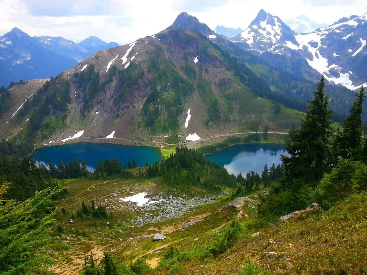
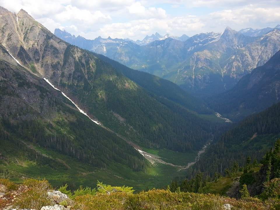
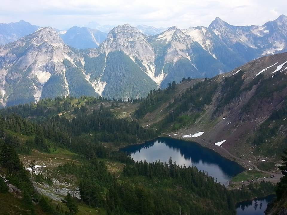
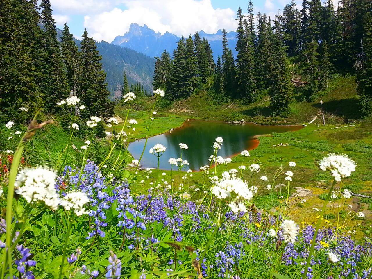
Starting out a bit steep, stay left at a junction with High Pass Trail. Mostly open fields of Heather and blueberries lead you to a spot that can hold snow late in the season and is precarious in that condition. Look down below to the Twin Lakes just before the final push to the lookout.
- Get there: Going east on Mount Baker Highway (542) at about 12 miles past the town of Glacier and turn left on Twin Lakes Road. The trailhead is 6.5 miles, 2 miles past the Yellow Aster Butte trailhead. Check with the Ranger Station regarding road conditions and take note that the last two miles is recommended for high clearance vehicles only.