Use these icons: Email us, Facebook Page, Instagram, Twitter, iTunes for podcasts, and our Youtube channel
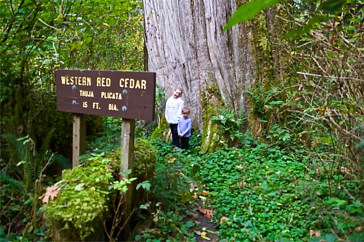
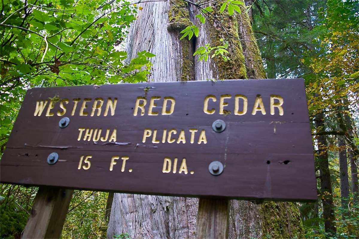
Western Red Cedar
Mountain Loop Area
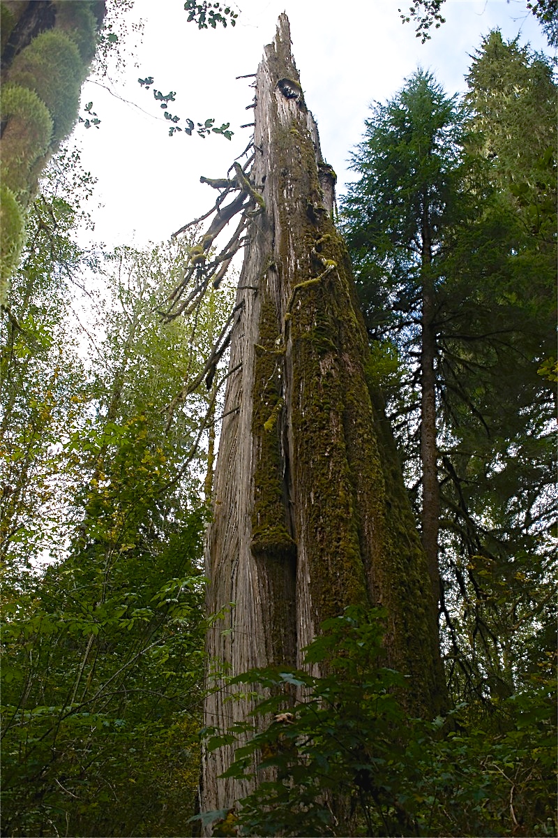
This is a huge tree, though the tree is no longer complete. Storms have taken the top half of the tree and it will most likely not be there for too much longer. This might be why there is no signs marking the trail along the highway.
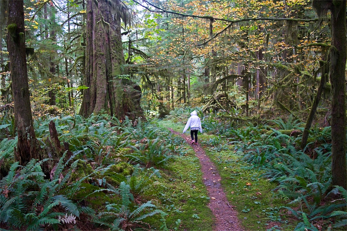
The trail itself has a small, 2-3 car, parking area with no toilet. It heads down a grown over road that quickly heads down a steep hillside. After shortly reaching the bottom of the hill, the trail levels out the rest of the way. There is still a large sign labeling the tree and there is also a very large tree on the adjacent side of the trail.
This trail has been neglected for years because of a washout at the Sauk River. This was the connecting trail to the Beaver Lake Trail, until that washout severed this alternate start point.
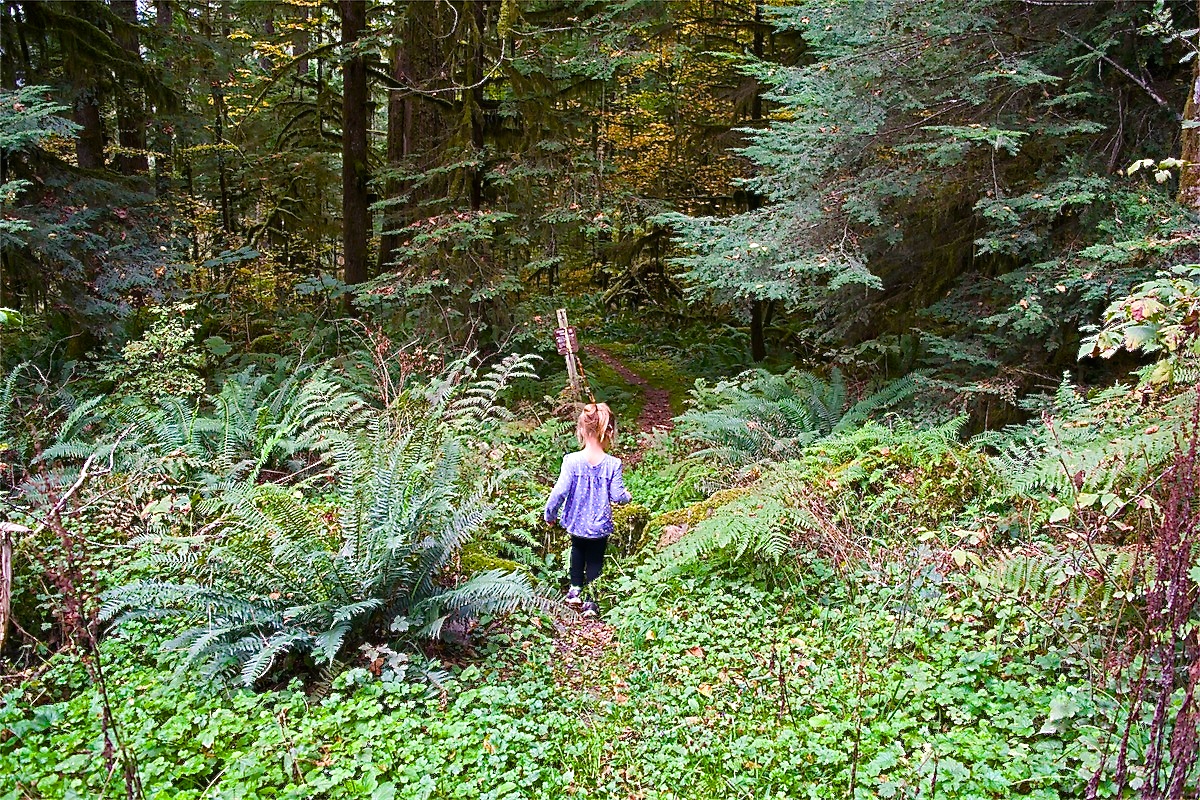
This is the "trailhead" from the parking area.
- Get There: From Darrington, follow the Mountain Loop Highway 10 miles where the pavement ends. Continue another 1 1/2- 2 miles and keep a lookout for the trail on the right. The trailhead looks like the picture taken from the parking area. Notice the overgrown trail and the small sign. Note: The parking area resembles a pullout for passing cars, so it is very easily missed.