Use these icons: Email us, Facebook Page, Instagram, Twitter, iTunes for podcasts, and our Youtube channel
Pilot Ridge Loop
DARRINGTON MOUNTAIN LOOP AREA
Miles: 30 mile loop
Elevation: 7,400 feet gained
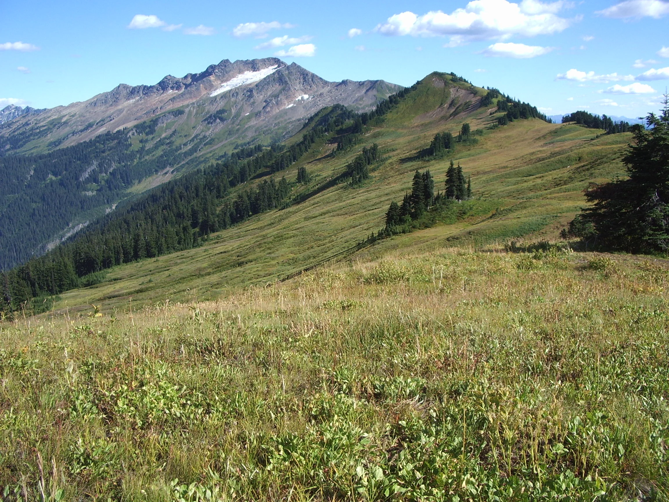
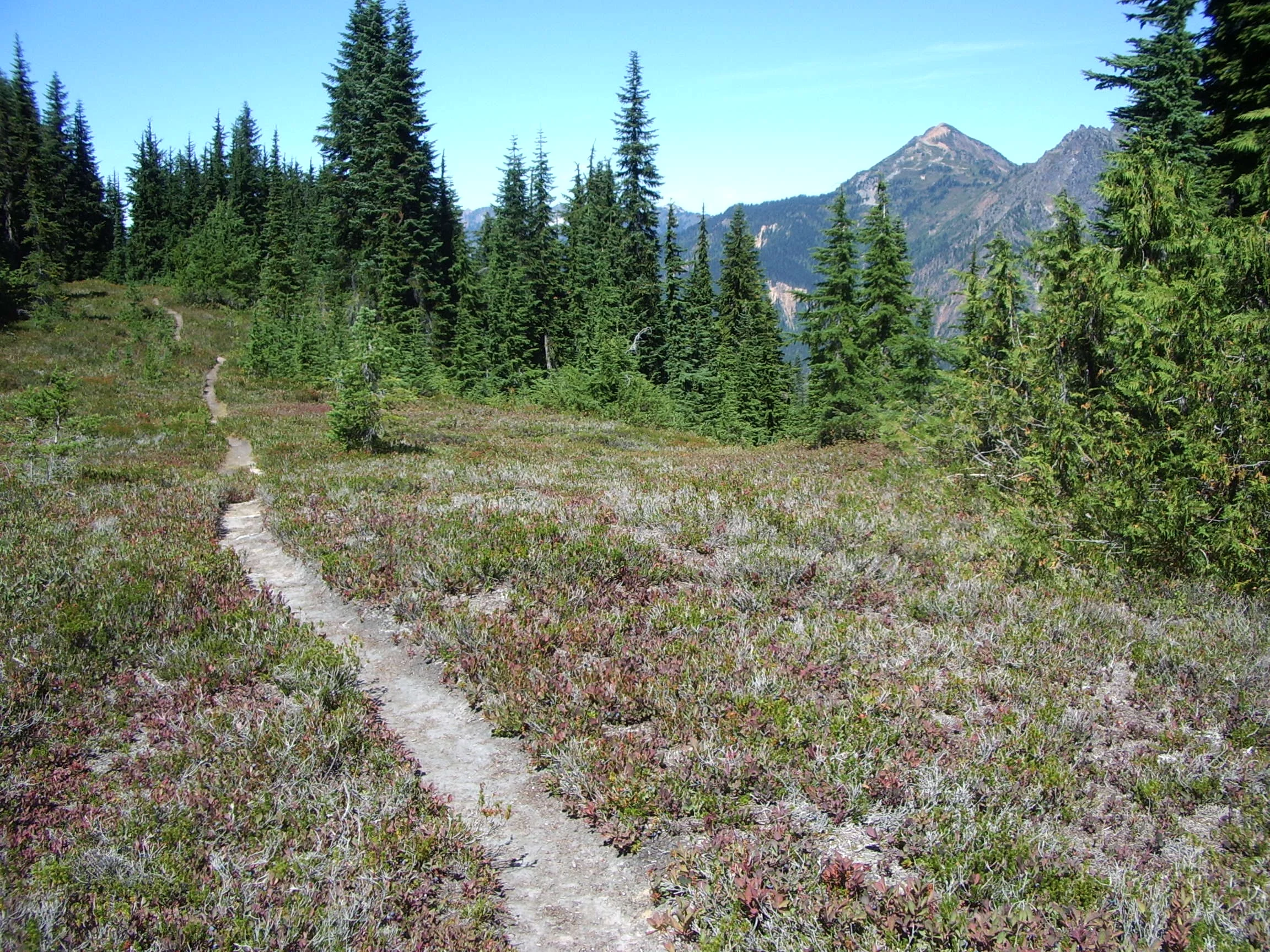
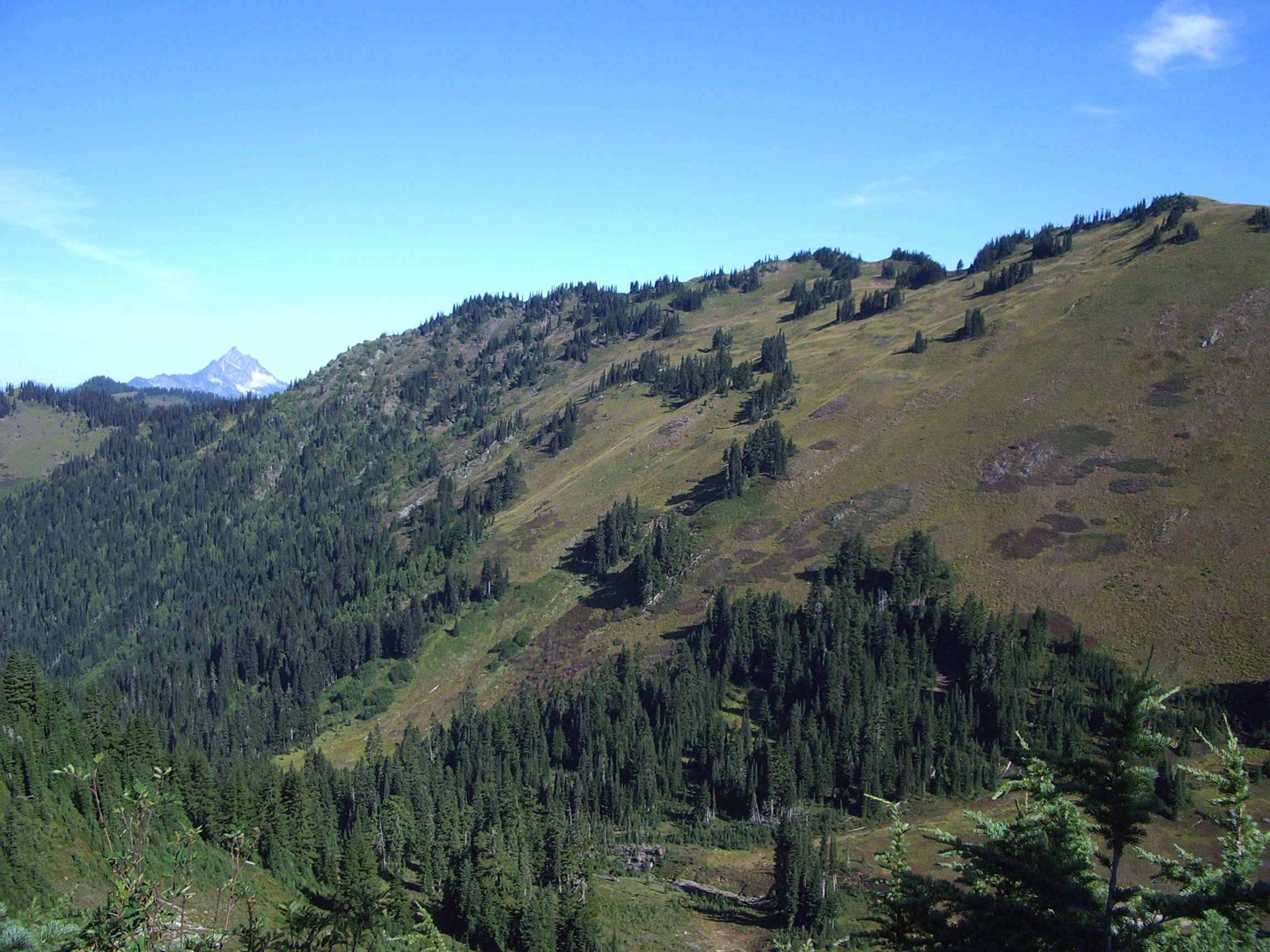
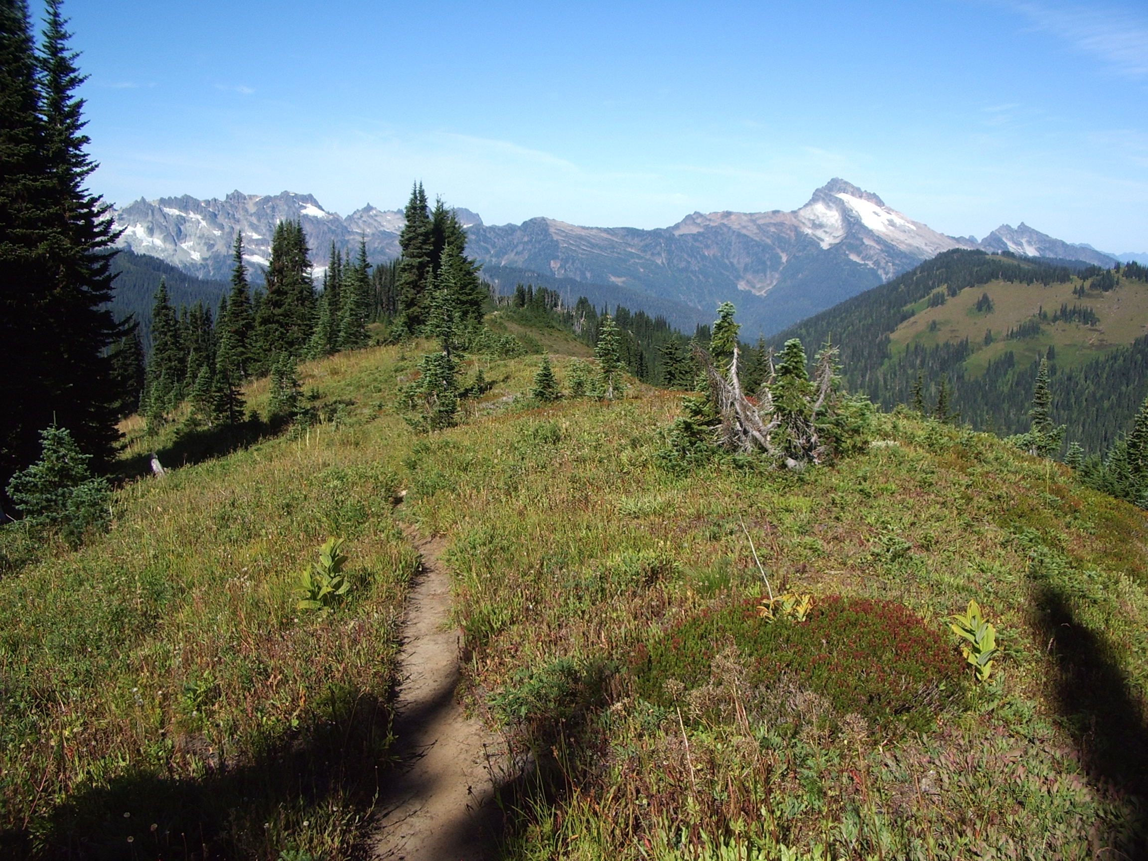
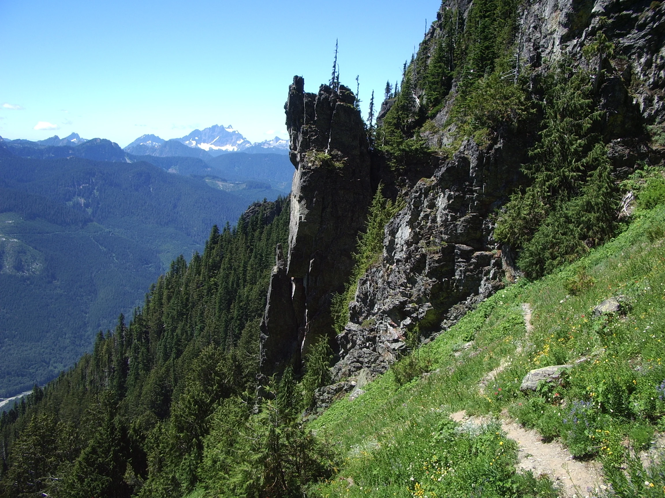
Due to lack of campsites on Pilot Ridge, the best choice is to make this loop in a clockwise direction, taking the North Fork Sauk Trail all the way up to the Pacific Crest Trail. This loop can be done as fast as you want or as a week-long adventure. Most popular is a two night trip, staying at White Pass the first night and Blue Lake the second night. Once joining the Pacific Crest Trail, turn right and head south 1.5 miles. Here you intersect an access trail leading down to the White Pass camping area equipped with plenty of sites and a backcountry toilet. If you stay here, there are a couple of great options for exploring. Either north to Red Pass (3 miles up) or along the Foam Basin Trail, which is the route climber's use for accessing the summit of Glacier Peak. Continue south on the Crest Trail down to Indian Pass where you find a number of campsites. At this point the Crest Trail climbs to a ridge and you pass a junction with the Little Wenatchee Trail then Dishpan Gap. This is about the halfway point of the loop and has a few great campsites in the area. Take the trail marked Blue Lakes, turn right and arrive at another junction, now with the Blue Lakes High Route. If you choose to go up then prepare for a doable, unmaintained climbers route going up and over a ridge to Blue Lake. Skipping the high route, the main path heads down to the Bald Eagle Trail and turns right onto a trail marked Blue Lakes. Find Little Blue Lake first, but great campsites and a backcountry toilet make the bigger Blue Lake a great spot to stay. Make sure to get water at the lake before the short climb to a junction with Johnson Mountain Trail. Continue, now on Pilot Ridge, the path stays high and in the open. Once near the end of the ridge, it drops you into the trees and then, possibly unnecessarily, brings you back up to one last small meadow. Then you drop, completely in the forest, to the North Fork Sauk River. Cross on an old tree and rejoin your trail, turning left towards your car two miles away.
- Get there: Follow Highway 530 to the major four-way stop at the gas station in downtown Darrington. Turn right and continue 16 miles until taking a left onto FS road 49. Turn left into a large trailhead parking lot after 6.5 miles.