Pave the Mountain Loop!
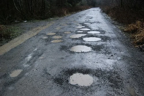
There is still fourteen miles of the Mountain Loop Highway along the Sauk River, that is not paved. It has long been a discussion to pave this final portion of the loop between Barlow Pass and the White Chuck River, but funds have been detoured every time. It seemed like a lost hope until the Oso Mudslide of March 22nd 2014, that closed the artillery route out of Darrington down for too long. In the meetings about handling this predicament, it was highly suggested that the Mountain Loop Highway was the next best option.

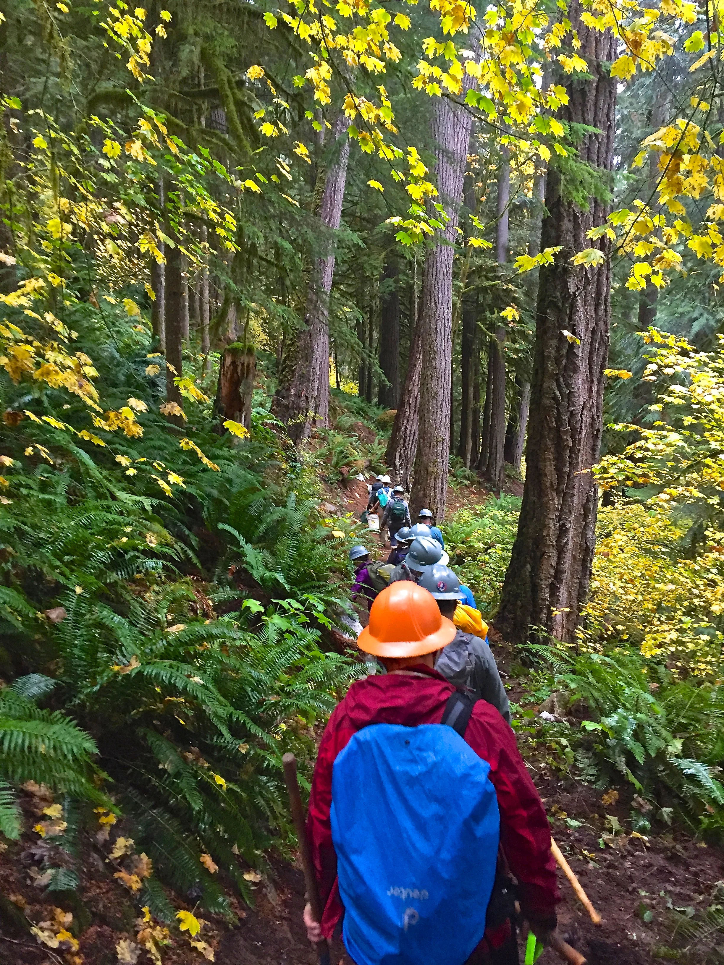
This photo, by Mark Griffith, is actually of Middle Fork Road. Here is a link to view his photo https://www.flickr.com/photos/niffgurd/2309656591/in/photolist-4w6Arn
The Mountain Loop Highway connects the towns of Arlington, Darrington, and Granite Falls. It offers an outlet to numerous outdoor activities, including the hikes on the Darrington Loop (CLICK HERE FOR LINK) and the hikes of the Granite Falls Loop (CLICK HERE FOR LINK).
There is a group, that I first discovered through social media (LINK HERE), called Pave the Mountain Loop. Also, here is a link to the Darrington Strong website that features this movement (LINK HERE).
Here is an update from them:
Hello Everyone.
Time for an update of what is happening related to the Pave the Loop Effort!
The big news is that Snohomish County and the Forest Service are discussing submittal of a proposal for a Feasibility Study of the gravel segment of the MLH that would be submitted to the Federal Highway Administration (FHA) in response to their Request for Project Proposals (RFP) that will be issued next month. Project proposals are due to FHA within 90 days of the issuance date of the RFP.
Completing a Feasibility Study can produce a number of benefits including frontloading the subsequent FHA NEPA process with strong alternative and design option evaluations including cost estimates, building public awareness of the project options, early identification of issues (which I think we already know most of but it will validate those in any case) and making the project more competitive in the FHA budgeting process when the time comes for submitting a proposal to FHA for the funding to undertake the actual reconstruction work. It is possible that this study could be completed before the end of 2017. Here is a link to a completed Feasibility Study if you want to get a sense of what would be produced for the Loop: http://bit.ly/1VK5xtN
We will post an update on the page when the RFP issues and offer suggestions as to how you can help support the effort underway by the Forest Service and Snohomish County to prepare their proposal.
Fall colors are spectacular along the road now and it is well worth getting your vehicle muddy to see them when they glow on a rainy day like today.
As always, if you have questions about this project or the information provided here, do not hesitate to post them on this page or send us an email at: finishtheloop@gmail.com